Lawmaker proposes help to locate public land survey monuments
Public land survey monuments are the basis of all property descriptions and infrastructure siting in the state along with serving as a basis for accurate digital geospatial data.
“It is, in our opinion, crucial infrastructure that underpins all the land property in the state,” said Preston Dowell, past president of the Minnesota Society of Professional Surveyors.
However, the location of less than half of those in Minnesota is known. Finding them all is estimated to take 30 years — and $300 million.
Sponsored by Rep. Mike Freiberg (DFL-Golden Valley), HF1231 would provide a jumpstart with $10 million annually from fiscal year 2024 through fiscal year 2029 to help counties fund the perpetuation of public land survey monuments. Another $1 million annually during that timeframe would be for technical staff to aid surveyors.
As amended, the bipartisan bill was held over Friday by the House State and Local Government Finance and Policy Committee for possible omnibus bill inclusion.
“This will help address the original infrastructure of the state which goes back to the mid-1800s,” Freiberg said. “When the U.S. government incorporated the west after the Louisiana Purchase, the government land office sent out surveyors to map the land. They laid out the map in 1-mile square sections and placed permanent markers at the corners. That work became the foundation for all property maps in Minnesota.”
[MORE: Original public land survey plats of Minnesota]
States were expected to maintain the monument system, which, in many cases, got handed off to local governments. But records have not been properly maintained for 180 years.
The location of about 165,000 of the original 325,000-plus markers is currently unknown. It costs approximately $1,800 to find each monument.
“Having a well maintained and dependable grid of monumentation of this kind ensures the creation and maintenance of the accurate digital data needed for natural resource protection, secure and accurate real estate transactions, accuracy and clarity for legal activity related to land and supports the continued provision of land available for development, for forestry, for agriculture, for recreation and all other public and private activity which rely upon the system,” said Geoffrey Maas, senior geospatial business analyst with Ramsey County.
Rep. Jim Nash (R-Waconia) noted the bill could save money in the long run with local governments not having to reconcile strife over land ownership.
As a realtor, Rep. John Huot (DFL-Rosemount) knows firsthand of potential bill benefits.
“One of the things we’re having in the state right now is the transition of property from grandma and grandpa to the next generation,” Huot said. “They had their land plotted out where they thought it was supposed be and if you read the description at the county, it’s turn right at the big tree, find the rock and that’s basically where your property ends. This is really a mess.”
Related Articles
Search Session Daily
Advanced Search OptionsPriority Dailies
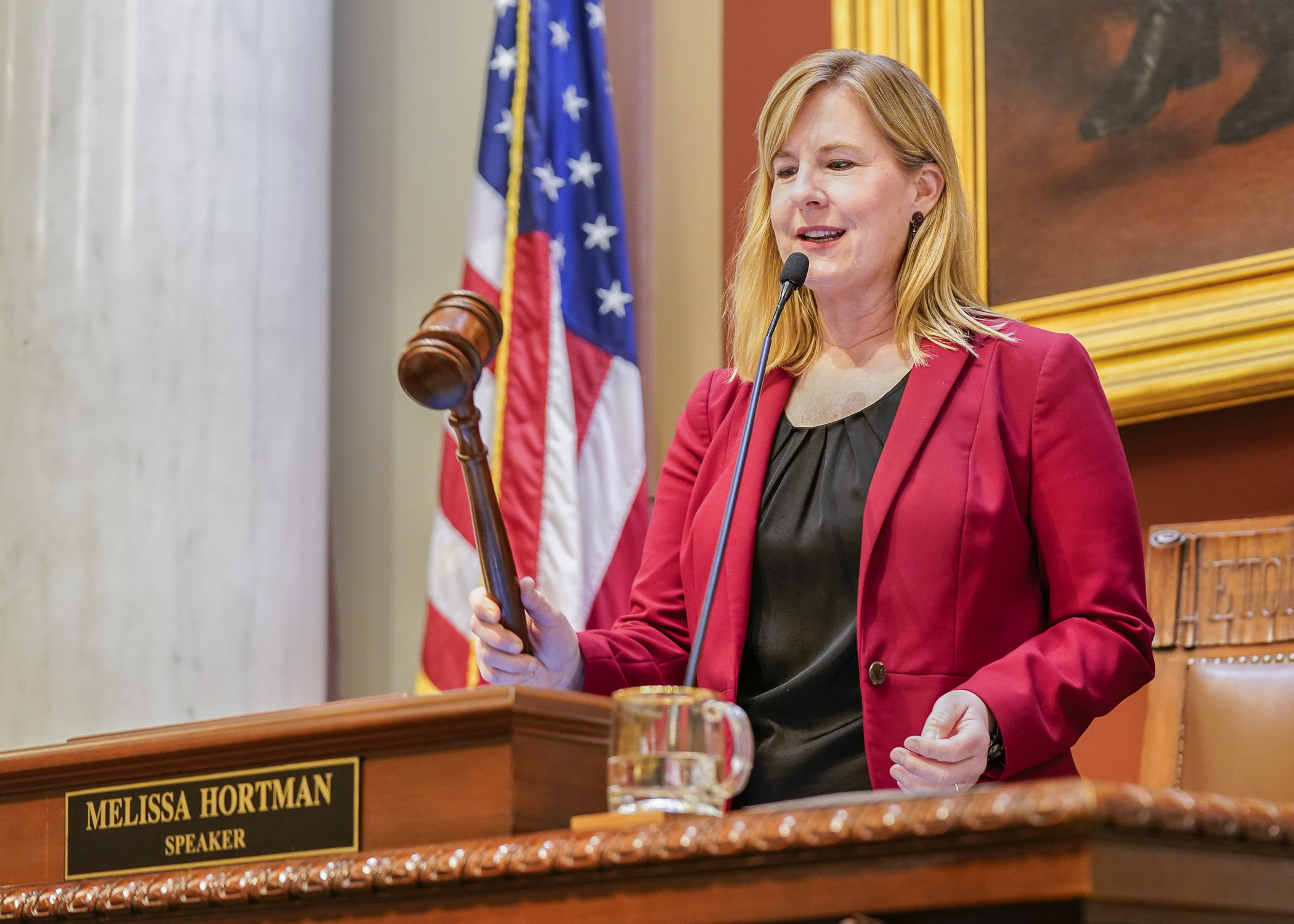
Speaker Emerita Melissa Hortman, husband killed in attack
By HPIS Staff House Speaker Emerita Melissa Hortman (DFL-Brooklyn Park) and her husband, Mark, were fatally shot in their home early Saturday morning.
Gov. Tim Walz announced the news dur...
Lawmakers deliver budget bills to governor's desk in one-day special session
By Mike Cook About that talk of needing all 21 hours left in a legislative day to complete a special session?
House members were more than up to the challenge Monday. Beginning at 10 a.m...